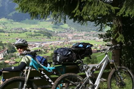
Monday, September 11, 2006

The next morning after our traditional breakfast of pastries and coffee, we set out for Interlaken again.


It was stormy looking weather and we got rained on several times along the way. Once back in Interlaken we made a decision to take the train to Bern, Fribourg, and then Vevey where we would stay for the night. Good thing, because it rained HARD all the way there.
Bern…it is the capital of Switzerland and it was a zoo of people. After spending the last few days in quiet, car free little villages I was uncomfortable around all the people and traffic. The sites were enough to make us push on and do some looking around for a couple hours.


When it started pouring down rain, we hopped back on the train for Fribourg. I really liked this city and it was much less packed with tourists.


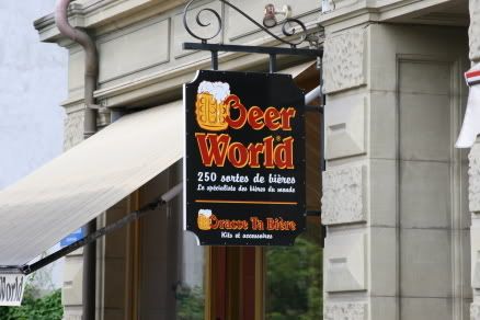
Mmmmm beer. Is there anything it can’t do?


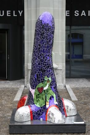
What in hell’s name is this SUPPOSED to look like?


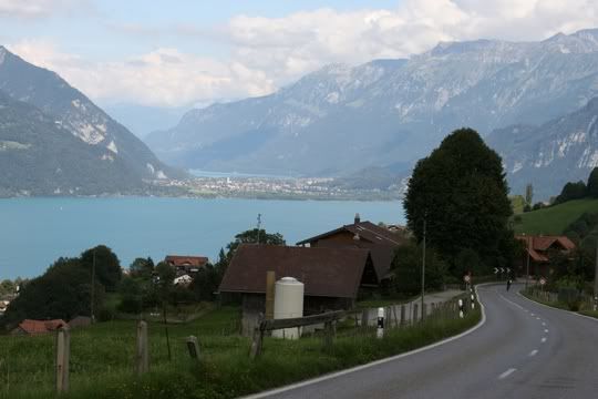
Another train ride took us to Vevey. Vevey lies right on the lake and is a great little community. It was warm, sunny and very charming.


We strolled the streets, had some beers, and enjoyed ourselves.


The hostel we stayed at was very nice, but some of the people that shared our room were ridiculous. One of them set their alarm for 5am, then got up and rusteled through grocery shopping bags for a full 30 minutes, left, and then came back in an hour and did it all over again. Thank god for ear plugs, they helped me sleep pretty well our whole trip.

Sunday, September 10, 2006

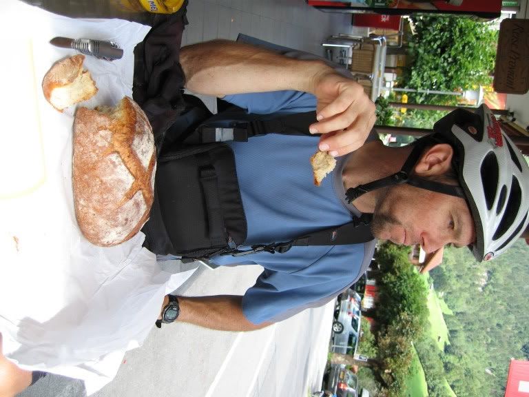
The next day was going to be a mellow ride day after our monster climbing route the day before, but we woke to perfectly clear skies with views of the Jungfrau mountains that we couldn't resist. So we consulted our maps and picked a route out that would take us up to Klein Sheidegg. The ride to Grindelwald was challenging in itself. The path kept leading us up and down, up and down.

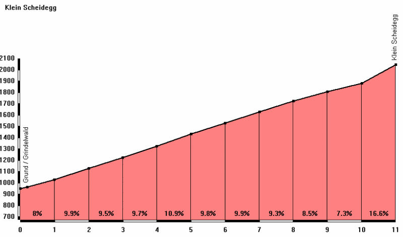
We had our customary bread and cheese for lunch, then set off for the real ride. That afternoon we climbed forever. It was essentially 3000'+ of climbing over roughly 7.5 miles. I am proud to say that the I think I only walked one little waterbar section and that I did indeed ride all of the last section on the graph WITH my backpack and rack and heavy bike. I thought I would die at the top, but obviously I am still alive since I'm writing this.

This graph shows our after lunch ride to the top.


These horses actually came down the hillside to check us out. They were very friendly...walked right up to me and were sniffing my bike rack.


Here is the entire Jungfrau mountain range. The top of Europe.


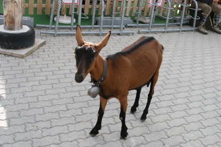
At the top we had the goats to contend with. They came flocking around us, trying to steal the peanut round cookies from Derek's bike rack! I guarded those with my life!


The singeltrack down from Klein Sheidegg is amazing. It criss cross a wider path that goes down to Wengen as well.


Wengen is another walking town. It sits opposite Murren across the Lauterbrunnen Valley. So, we rode all day long in a giant circle, only to be across on the other hill from Murren. Accessible only by cable car from Lauterbrunnen (or walking or cycling) - it is traffic free and well known for its pure mountain air and known for being the home of the International Lauberhorn Downhill ski race.


We ended our day with a giant Italian feast and rested our weary legs. At the hostel, the owner gave us a nice big double room for the same price as a dorm bed since she wasn't busy. We even stored our bikes in the dining room. NICE!

Thursday, September 07, 2006

To the Mountains!

We started our day with croissants and coffee, then headed towards the Lauterbrunnen Valley and the smaller villages. Our ride to the valley was peaceful and scenic and we enjoyed our daily lunch of bread and cheese before heading out for another ride.

The town of Lauterbrunnen.


The Lauterbrunnen Valley boasts 291 waterfalls and we certainly saw a lot of them on our ride up to Murren, which is perhaps the most beautiful village in the Bernese Oberland. The village is perched high up above the Lauterbrunnen valley at 5400 feet above sea level. It's way up on a cliff essentially. From the Murren side of the valley, the view of the famous Eiger, Munch and Jungfrau is simply the best. Above Murren rises the great peak of the Schilthorn at 9600 feet. Thisaccessiblebile by the spectacular cable car from the village. At its summit is the superb revolving restaurant with its magnificent 360 degree panorama. This was James Bonds Piz Gloria in the film On Her Majesty Secret Service.

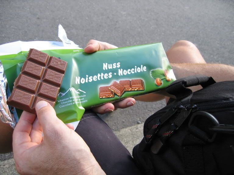
Our ride started innocently enough with a paved little path out of the village. It promptly turned to a dirt road and the climb was on. It switchbacked up and up and then turned steeply upward. I'm fairly certain we took a wrong turn because from the looks of the topo map it should have been a gradual climb and this was nowhere near gradual. The trail was beautiful and the scenery was spectacular with waterfall after waterfall. We climbed for another 2 hours before we reached Murren. We rode straight to the little market and bought a giant hazelnut milk chocolate candy bar to refuel before the descent. The descent was a fast furious little piece of trail that dropped us back by our hostel. Tough, tough riding was followed by a giant helping of genuine alpenmacaroni, apple struedel, and beers. AHHH, what a day.

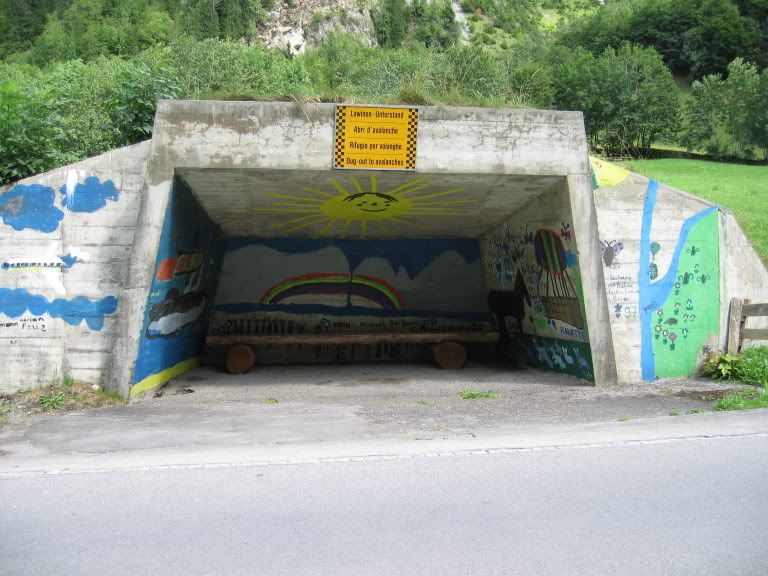
You think they get a lot of snow in the surrounding mountains? I'm sure the handful of avalanche shelters we passed can attest to that.


The cog train that takes people up to Wengen.


I know picture never do gradients justice, but notice the fenceline climbing up towards the right in the background...we're headed up that on a tiny singletrack.


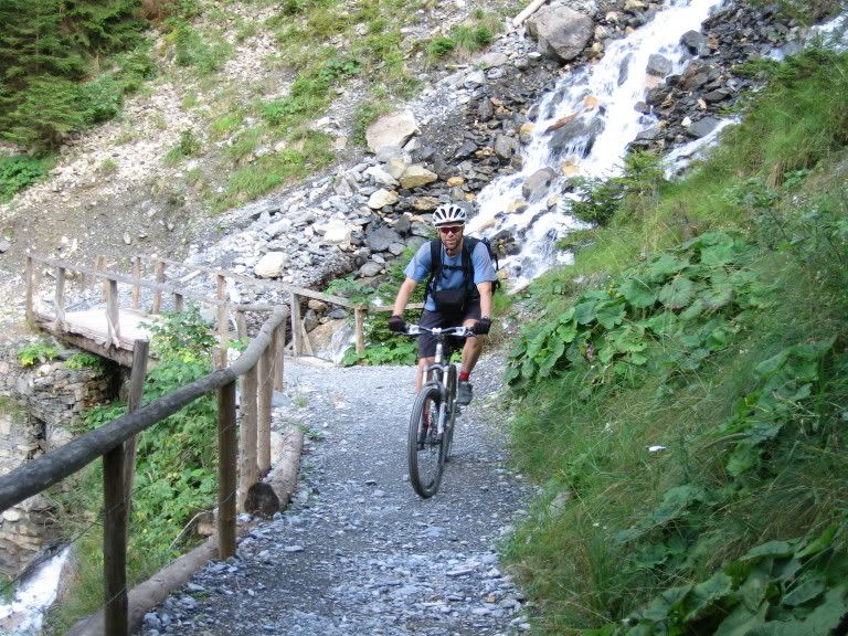
Waterfalls everywhere


How everyone else gets to Murren.


Hahaha - again, check out the fencelines in the background, this path was STEEEEEEP!


We started out down there about 3 hours ago.


Wednesday, September 06, 2006

Interlaken

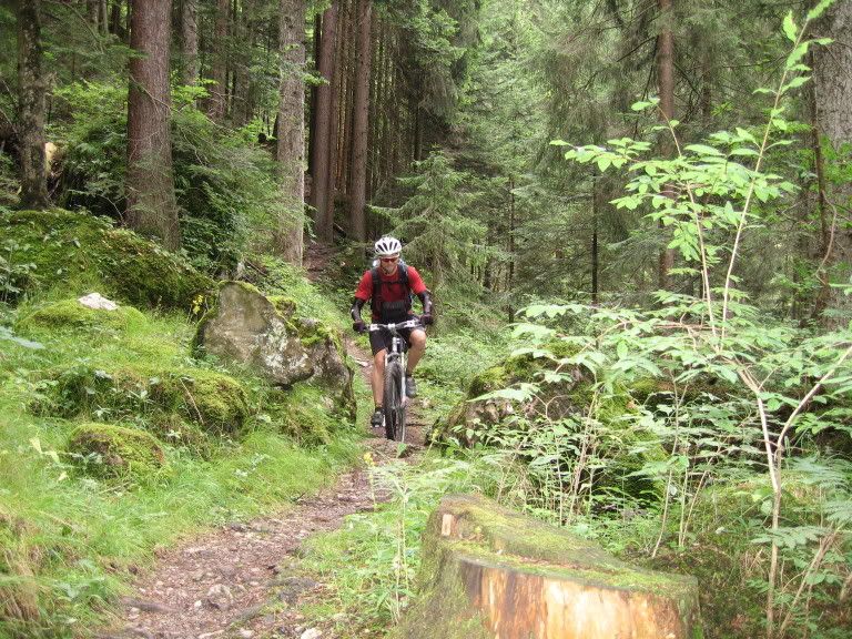
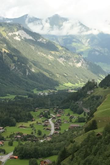
Today was a long day - about 7 hours in the saddle. We left Kandersteg and hit some really fun singletrack but it was tough. There were quite a few long switchback climbs, some hike-a-bikes, big grassy fields, woodsy descents, giant waterfalls, road climbs, cows, horses, goats, dead ends, extra credit loops because we were lost, and sweat.

Not a bad way to start a morning.


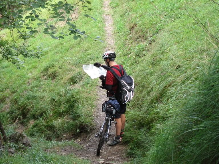
When at a crossroads, it's always tempting to take the downhill trail. Unfortunately, after consulting the map, we took the uphill.


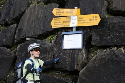
Thank god there is a bus schedule posted up here. We grew to learn that the yellow signs were hiking signs (but you could ride the trail) and they told how long it took to hike places. Lots of times that was close to how long it took to ride too since the trail was so technical and steep.


It's tough work descending, I needed a break.


After a stop in some tiny village to refuel on some almond and hazelnut filled pastries, we pedaled up and over the mountain down into Interlaken.