By the time we got to the highway the wind was pretty strong and we had gotten a late start so it was already a bit after 2. It was a struggle to keep my bike pointed straight and upright in the gusts. I had to focus intensely on balancing and sticking as far to the right of the shoulder as possible. We were pretty tired once we turned onto the Observatory road, I underestimated the distance we had ridden at this point. Derek informed me that he was riding with only one easier gear and with the wind it was going to be at least an hour still to the top (6700'). My legs were feeling really good still, in fact, I was still in the big ring but my shoulders and neck were just really tired. Since we were in a pretty remote spot the whole day, we had elected to wear camelbaks instead of trying to get by on water bottles. So after about 5 minutes of deliberations I made the executive decision to turn back.
I don't know the exact mileage for our our route since neither of us has a cycle computer , but I'm guessing it had to be somewhere above 60 miles. That's double the longest amount either of us has ridden in probably 5 months. Woohoo! Anyway, here are a couple pictures.
About mile 21 I'd guess. This is the split between gravel road 18 and 2015 (It think that's the right #)

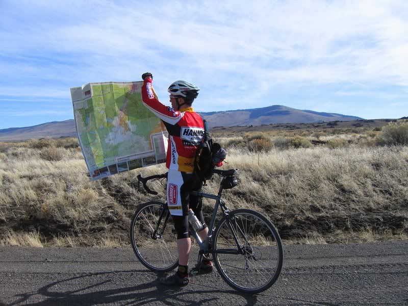
Map check by Evans Well.
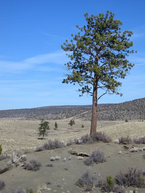
Desert vegetation all around.
No comments:
Post a Comment